 Count Buddy
Every count, exactly where you took it.
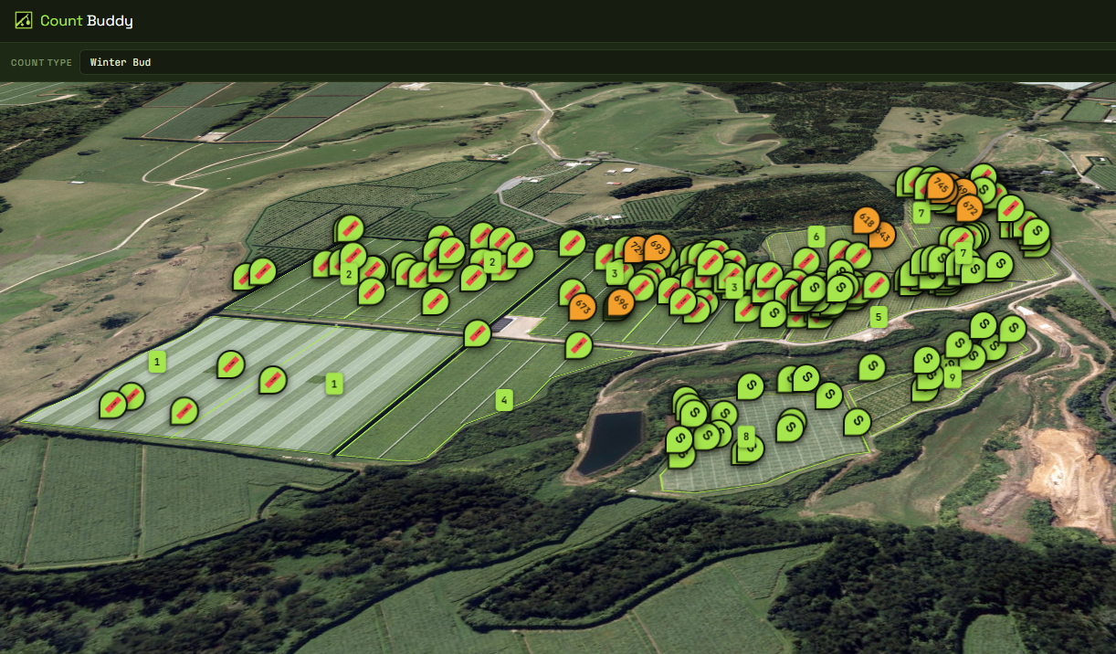
Count Buddy pins bud counts and dry-matter readings to the row and bay they came from. Your whole team’s numbers land on one live map, roll up per block, and export when you need them.
Free for 100 points, 20 blocks and 5 team members · no card needed
Built for the row, not the office
It has to work with cold hands, one bar of signal and a phone in a pocket. That is the whole design brief.
Count where you stand
One tap drops a GPS-tagged point. No forms, no transcribing a tally sheet back at the shed.
Blocks, rows and bays
Draw block boundaries on the map and drop row and bay markers, so every count knows exactly where it belongs.
Numbers you can act on
Per-block averages for buds and dry matter, plus CSV and GeoJSON export for whatever you use next.
Simple pricing
Start free and stay free while you are getting a feel for it. Upgrade when the orchard outgrows it.
- 100 points
- 20 blocks
- 5 team members
- Live team map & GPS counting
- Rows, bays and block boundaries
- CSV import
- Unlimited team members — no per-seat charge
- Unlimited points & blocks
- Analytics & reporting dashboard
- CSV & GeoJSON export
- Priority support
- Bluetooth dry-matter gun (coming soon)
- Everything in Pro
- Multiple orchards under one account
- Post-harvest & management-company rollups
- Onboarding for your field teams
- Invoiced annually